Interstate I-30 Arkansas Rest Areas & Rest Stops
Travel I-30 across Arkansas with confidence. This page helps you find the closest rest area, upcoming rest stops, truck parking, and welcome center details along I-30, all shown on the interactive map, so you can easily spot the next rest area near you on your route.
About Interstate I-30 Arkansas Rest Areas
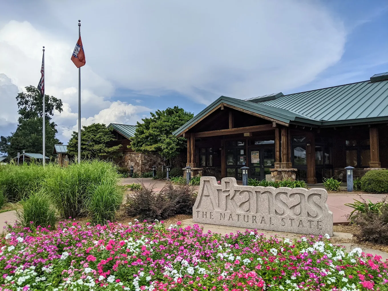
Interstate I-30 runs across southern Arkansas from the Texas state line toward the Little Rock area. Along the Arkansas portion of I-30, there are three publicly listed Interstate rest areas / welcome-center style stops that serve east- and westbound traffic. This page shows each location’s amenities, truck parking indicators, and a map view so you can plan stops that match your needs.
Interstate I-30 Arkansas Rest Areas Location Map
Interstate I-30 Arkansas Rest Areas
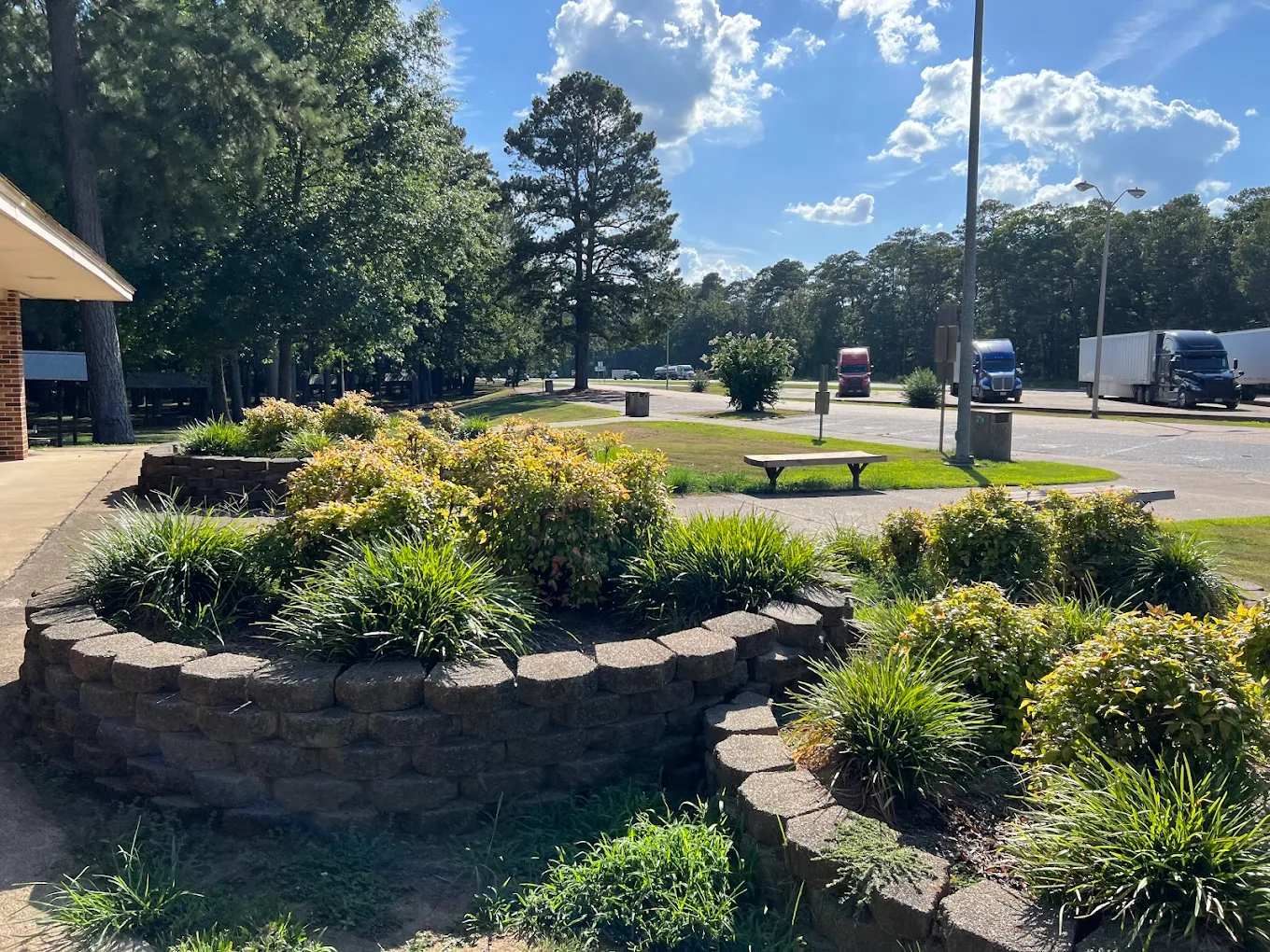
AR I30 Social Hill Rest Area - E/W Bidirectional

- Amenities
- Restroom
- Vending machine
- Water
- Picnic tables
- Car parking
- Truck parking
- Wheelchair access
- Contact & Address
- 29029 AR-84, Malvern, AR 72104, United States
- Amenities
- Restroom
- Vending machine
- Water
- Picnic tables
- Car parking
- Truck parking
- Wheelchair access
- Contact & Address
- I-30, Okolona, AR 71962, United States
- Amenities
- Restroom
- Vending machine
- Showers
- Water
- Picnic tables
- Pet area
- Car parking
- Truck parking
- RV dump
- Wheelchair access
- Contact & Address
Safety Tips for Using Interstate I-30 Arkansas Rest Areas
- Use well-lit, busy rest areas when stopping at night – choose locations with truck parking if you need overnight space.
- Keep valuables out of sight and lock your vehicle while resting.
- When using the interactive map, verify hours and contact numbers before you turn off the interstate.
Travel Tips for Interstate I-30 Arkansas Drivers & Visitors
- Go to the interactive map section on this page to find the closest rest area and the next rest area near you on I-30.
- Truck drivers: look for the truck-parking indicator before exiting to ensure a legal, safe spot.
- RV travelers: check the RV-dump and large-vehicle indicators so you don’t pull into a passenger-only lot.
- For state travel info or visitor services, use the welcome center indicator on the map.
FAQ
We list 3 I-30 rest areas, rest stops, and welcome-center style locations in Arkansas. Each listing includes amenity indicators, direction/mile info, and a map to help you plan your stop.
I-30 runs east–west across southern Arkansas, connecting the Texas border area with central Arkansas and the Little Rock region, serving both local and through traffic along this corridor.
Use the interactive I-30 Arkansas map on this page - enable location access and the map will show the closest rest stop along your route.
Yes - several I-30 listings include truck parking. Look for the truck parking indicator on each listing or search 'truck parking near me' on the map to find suitable truck stop locations.
Amenities vary by location and may include restrooms, vending, picnic tables, pet areas, water, truck parking, RV dump stations, and welcome center services - all shown on each listing and on the map.
Many DOT-operated rest area restrooms are open 24/7, though building hours for welcome centers and some services can vary. Check each listing for specific opening hours and contact details.