Interstate I-25 Colorado Rest Areas & Rest Stops
This page lists 2 Interstate rest areas on I-25 in Colorado and shows each location on an interactive map. Use the map to find the closest rest area on your route, truck parking, and other amenity details before you stop.
About Interstate I-25 Colorado Rest Areas
I-25 is the primary north–south interstate through Colorado, passing key corridors near Pueblo, Colorado Springs and Denver and serving both local and long-distance traffic. This page focuses on I-25 facilities in Colorado and provides mile markers, traffic direction, ownership notes, and amenity indicators to help you plan stops along the route.
Interstate I-25 Colorado Rest Areas Location Map
Interstate I-25 Colorado Rest Areas
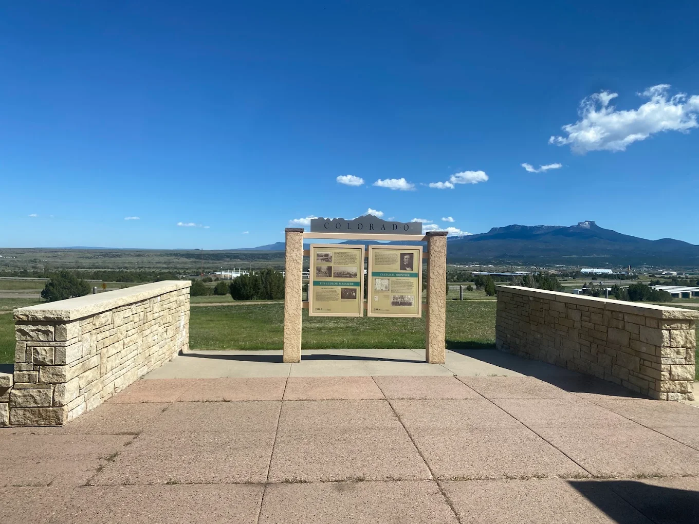
CO Interstate 25 El Morro Rest Area - N/S Bidirectional
- Amenities
- Restroom
- Vending machine
- Water
- Picnic tables
- Pet area
- Food
- Car parking
- Truck parking
- Wheelchair access
- Contact & Address
- Milepost 17.72, I-25, Trinidad, CO 81082, United States
CO I25 Trinidad Welcome Center - N/S Bidirectional
- Amenities
- Restroom
- Water
- Pet area
- Car parking
- Truck parking
- Wheelchair access
- Contact & Address
Safety Tips for Using Interstate I-25 Colorado Rest Areas
- Prefer well-lit rest areas and those with designated truck parking for overnight stops.
- Park in main lots (not isolated pullouts), lock your vehicle, and keep valuables out of sight.
- If you feel unsafe, use the map to locate the next rest stop or a nearby welcome center.
- For emergencies, call local authorities; use listed facility phone numbers when available.
Travel Tips for Interstate I-25 Colorado Drivers & Visitors
- Use the interactive map to find the nearest rest stop and to view the next rest area along I-25.
- Check amenity indicators before exiting (restroom, RV dump, showers, truck parking, food, Wi-Fi).
- Truck drivers: plan parking stops using mile markers and direction info to avoid backtracking.
- RV travelers: confirm RV dump and large-vehicle access ahead of arrival.
- If a facility is critical to your trip, verify hours or call the listed phone number before you go.
FAQ
This page lists 2 I-25 rest areas in Colorado. Each listing includes route details, mile markers, traffic direction, amenity indicators, and a map to help you plan your stop.
I-25 runs north–south through Colorado and serves corridors near Pueblo, Colorado Springs, and Denver, connecting travelers between New Mexico and Wyoming.
Use the interactive I-25 Colorado map on this page - it will show you the closest rest stop and the next rest area along your route.
Yes - the listings indicate truck parking availability. Look for the truck-parking indicator or search the map for 'truck parking near me' to find suitable stops and long-vehicle spaces.
Amenities vary by location and may include restrooms, vending machines, picnic tables, pet areas, water, truck parking, RV dump stations, showers, Wi-Fi, and welcome center services - all shown on each listing and on the map.
Many DOT-operated I-25 rest area restrooms are open 24/7, but welcome center building hours and some services can be limited. Check each listing for specific opening hours and location details before you go.