Interstate I-40 Arizona Rest Areas & Rest Stops
This page covers the I-40 corridor across Arizona and the four interstate rest areas along it. Use the interactive map and location info to find the closest rest area, plan where the next rest area will appear on your route, and spot a nearby truck stop when you need it.
About Interstate I-40 Arizona Rest Areas
Interstate I-40 runs east–west across northern Arizona connecting Kingman, Flagstaff, Winslow and points beyond. This page summarizes the four rest stops and welcome-center locations on I-40 in Arizona, their general facilities, and map locations so you can plan stops by mile marker and direction. For live status (closures or maintenance) check official ADOT notices.
Interstate I-40 Arizona Rest Areas Location Map
Interstate I-40 Arizona Rest Areas
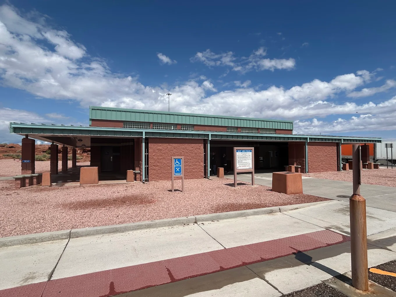
- Amenities
- Restroom
- Vending machine
- Water
- Picnic tables
- Pet area
- Car parking
- Truck parking
- Wheelchair access
- Contact & Address
- Winslow, AZ 86047, United States
- Amenities
- Restroom
- Vending machine
- Water
- Picnic tables
- Pet area
- Car parking
- Truck parking
- Wheelchair access
- Contact & Address
- I-40, Coconino County, AZ 86015, United States
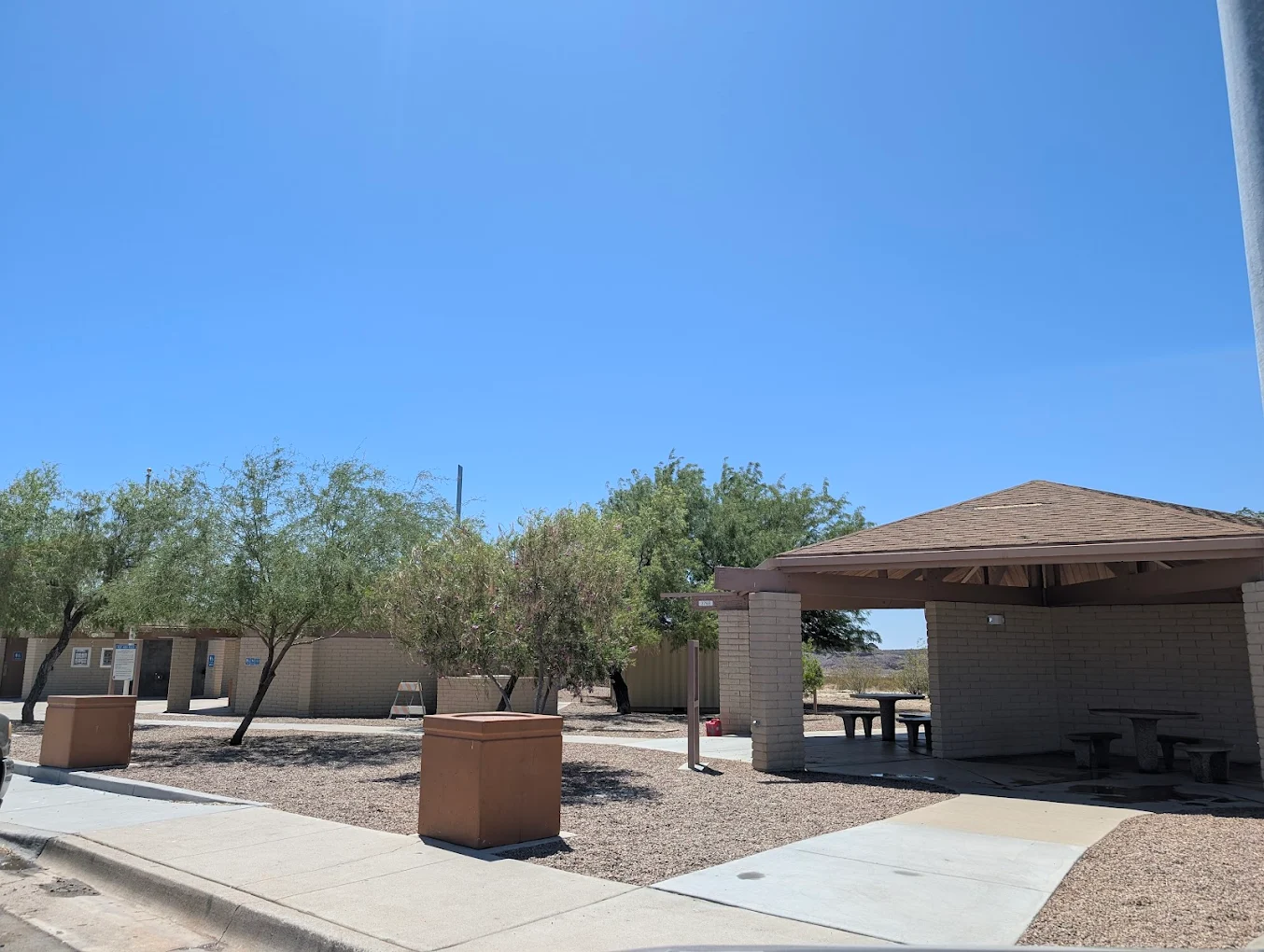
- Amenities
- Restroom
- Vending machine
- Picnic tables
- Car parking
- Truck parking
- Wheelchair access
- Contact & Address
- Unnamed Rd, Golden Valley, AZ 86413, United States
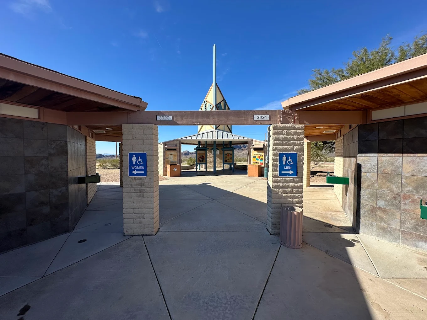
- Amenities
- Restroom
- Vending machine
- Water
- Picnic tables
- Pet area
- Car parking
- Truck parking
- Wheelchair access
- Contact & Address
- I 40 Milepost #23, Golden Valley, AZ 86413, United States
Safety Tips for Using Interstate I-40 Arizona Rest Areas
- Prefer rest areas with good lighting and visible truck parking when stopping at night.
- Lock your vehicle, take valuables, and park near other vehicles when possible.
- If you’re a truck or RV driver, use designated truck parking spots to avoid fines or blocking lanes.
- Check the map and listing contact info before you stop to confirm hours and any service advisories.
Travel Tips for Interstate I-40 Arizona Drivers & Visitors
- Use the map to find the next rest stop on I-40 and estimate distance by mile marker.
- If you need showers, RV dump, or large-truck parking, filter the map for those amenity indicators in advance.
- On long stretches, plan stops near welcome centers for extra services and travel info.
- Keep a list of nearby private truck stops as back-up if public rest areas are closed for maintenance.
FAQ
This page covers four I-40 rest areas and welcome-center locations in Arizona. Each listing includes direction, mile-marker info, amenity indicators, and a map to help you plan stops.
I-40 crosses northern Arizona and serves major corridors and cities including Kingman, Flagstaff, Winslow, and other towns along the east–west route across the state.
Open the interactive I-40 Arizona map on this page - the map shows the closest rest stop and the next rest area along your route.
Yes - some I-40 rest stops include designated truck parking. ADOT is also working on truck-parking improvements along I-40; check each listing for the truck-parking indicator and verification date.
Amenity indicators include restrooms, vending, picnic tables, pet areas, water, truck and car parking, RV dump stations, showers at some locations, and welcome-center services - all visible on each listing and the map.
Many DOT-operated interstate rest area restrooms are open 24/7, but welcome center buildings and some services may have limited hours. Always check the listing’s opening hours or ADOT notices before you go.