Interstate I-59 Alabama Rest Areas & Rest Stops
Locate the next rest area or rest stop on I-59 in Alabama – from quick restroom breaks to truck parking, RV dump access, and welcome center services. Use the interactive map to find the closest rest area along your route.
About Interstate I-59 Alabama Rest Areas
Interstate I-59 runs northeast–southwest through Alabama, connecting major corridors and cities such as Tuscaloosa, Birmingham, and Gadsden. Along the Alabama stretch you’ll find DOT-operated Interstate rest areas, a state welcome center, and a mix of service plazas and private truck stops that support local and through traffic. This page covers the I-59 rest area locations in Alabama (3 listings shown here) with clear amenity indicators and a map so you can plan stops easily.
Interstate I-59 Alabama Rest Areas Location Map
Interstate I-59 Alabama Rest Areas
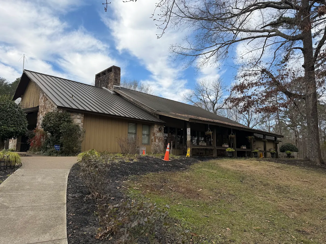
AL I-59 Dekalb Welcome Center Southbound
- Amenities
- Restroom
- Vending machine
- Water
- Picnic tables
- Pet area
- Food
- Car parking
- Truck parking
- RV dump
- Wheelchair access
- Contact & Address
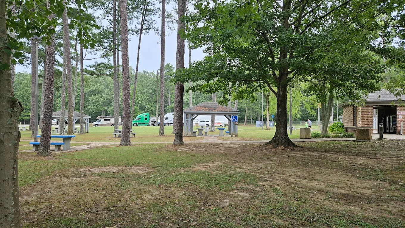
AL I-59 St. Clair County Rest Area - Southbound
- Amenities
- Restroom
- Vending machine
- Water
- Picnic tables
- Pet area
- Food
- Car parking
- Truck parking
- RV dump
- Wheelchair access
- Contact & Address
- I-59, Steele, AL 35987, United States
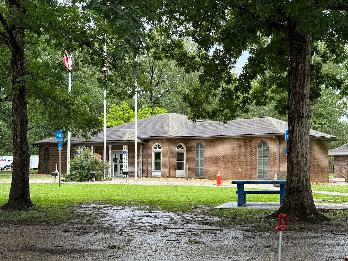
AL I-59 St. Clair County Rest Area - Northbound
- Amenities
- Restroom
- Vending machine
- Water
- Picnic tables
- Pet area
- Food
- Car parking
- Truck parking
- RV dump
- Wheelchair access
- Contact & Address
- Ashville, AL 35953, United States
Safety Tips for Using Interstate I-59 Alabama Rest Areas
- Park in well-lit areas and use designated truck parking if available.
- Keep valuables out of sight and lock your vehicle before resting.
- Prefer rest stops with multiple vehicles present late at night; report suspicious activity.
- If traveling with pets, use the pet area and keep animals on leash near parking.
- Confirm hours and services via the listed phone or website before arrival when possible.
Travel Tips for Interstate I-59 Alabama Drivers & Visitors
- Open the interactive map to see which stop is the closest rest area near you and the next rest area on I-59.
- Truck drivers: filter for truck parking and long-vehicle spaces to meet HOS scheduling.
- RV travelers: look for RV dump and water indicators before planning an overnight stop.
- Use mile-marker and exit info on listings to plan stops without extra detours.
- For longer trips, space stops every 90–120 minutes to stay alert and rested.
FAQ
This page lists 3 I-59 rest areas, rest stops, and welcome center entries for Alabama. Each listing includes route details, mile markers, travel direction, amenity indicators, and a map to help you plan your stop.
I-59 runs through key Alabama corridors and serves cities such as Tuscaloosa, Birmingham, and Gadsden, connecting travelers between the Mississippi and Georgia state lines.
Use the interactive I-59 Alabama map on this page - it will show the closest rest area and the next rest stop on your route.
Yes - several I-59 listings indicate truck parking availability. Look for the truck-parking indicator on each listing or search 'truck parking near me' on the map to locate suitable truck stop locations.
Amenities vary by location and may include restrooms, vending, picnic tables, pet areas, water, truck parking, RV dump stations, showers, Wi-Fi, and welcome center services - all shown on each listing and on the map.
Many DOT-operated I-59 rest areas have 24/7 restroom access, but building hours and some services (like welcome centers) may be limited. Check each listing for specific opening hours and location details before you go.