Interstate I-95 Georgia Rest Areas - Map, Facilities & Amenities
I-95 crosses roughly 112 miles through Georgia and features three Interstate rest areas / welcome centers serving travelers and commercial drivers. Use the interactive map to find the closest rest area, plan the next rest area on your route, or locate truck parking and RV-friendly stops before you exit.
About I-95 Georgia Rest Areas
This I-95 Georgia page covers the state’s Interstate rest areas and welcome centers along the corridor — their location, basic facilities, and amenity indicators (restrooms, truck parking, RV dump, vending, picnic areas, and accessibility). The map view shows each rest stop’s position and helps you plan safe, efficient breaks along I-95.
I-95 Georgia Rest Areas Location Map
Interstate I-95 Georgia Rest Areas
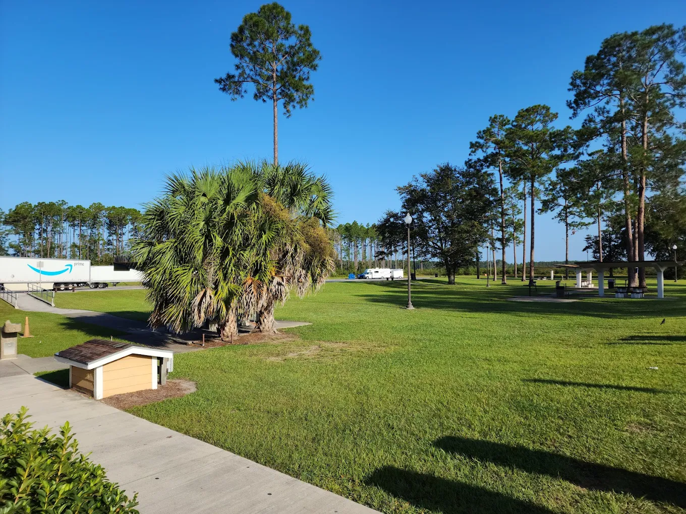
GA I-95 Glynn County Rest Area - Southbound
- Amenities
- Restroom
- Vending machine
- Water
- Picnic tables
- Pet area
- Food
- Car parking
- Truck parking
- RV dump
- Wheelchair access
- Contact & Address
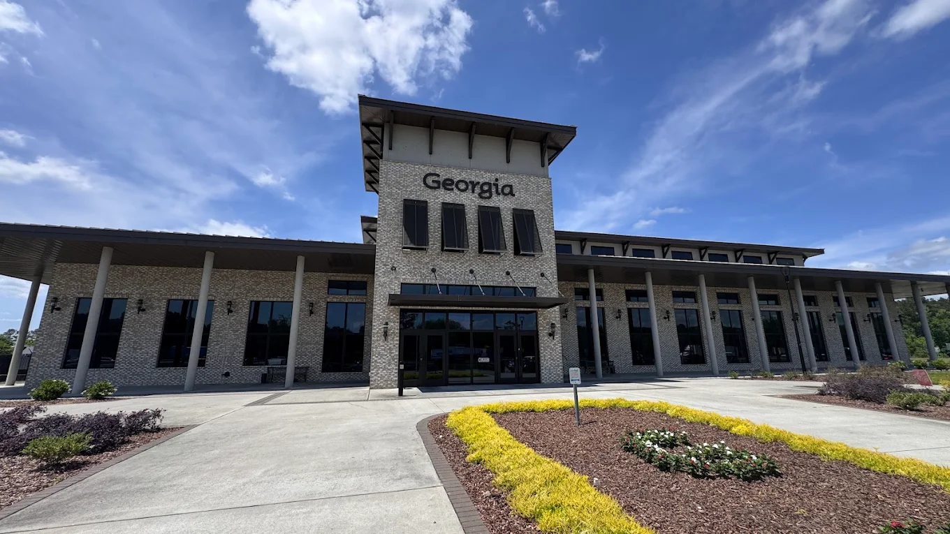
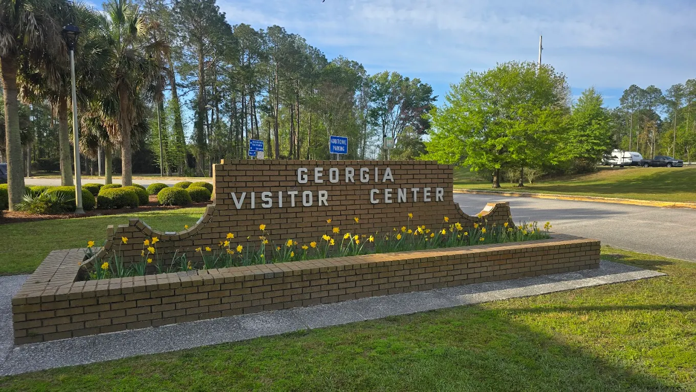
GA I-95 Savannah Welcome Center - Southbound
- Amenities
- Restroom
- Vending machine
- Water
- Picnic tables
- Pet area
- Food
- Car parking
- Truck parking
- RV dump
- Wheelchair access
- Contact & Address
- 48 I-95, Port Wentworth, GA 31407, United States
GA I-95 St Marys Welcome Center - Northbound
- Amenities
- Restroom
- Vending machine
- Showers
- Water
- Picnic tables
- Pet area
- Food
- Car parking
- Truck parking
- RV dump
- Wheelchair access
- Contact & Address
- 100 St Marys Rd, St Marys, GA 31558, United States
Safety Tips for Using I-95 Georgia Rest Areas
- Prefer well-lit rest areas and those with truck parking when stopping after dark.
- Park in marked spaces (truck or RV areas) — avoid blocking ramps or emergency lanes.
- Keep valuables out of sight and lock your vehicle when you rest.
- For emergencies, use posted phone numbers or the facility operator link in the listing.
- If you see maintenance/closure notices on our map, verify via the official DOT link before driving in.
Travel Tips for I-95 Georgia Drivers & Visitors
- Use the map to check which rest stop is the closest rest area and which is the next rest area on I-95.
- Truck drivers: filter for truck parking and long-vehicle capacity to plan hours-of-service breaks.
- RV travelers: look for RV dump and water indicators before committing to an exit.
- Families: pick stops with picnic or open areas for safe stretching breaks.
- If an amenity is critical (showers, large truck spaces), call the facility phone listed before you arrive.
FAQ
We list three I-95 Interstate rest areas and welcome centers in Georgia. Each listing includes route details, mile markers, travel direction, amenity indicators, and a map to help you plan your stop.
I-95 runs along Georgia’s eastern corridor, serving the coastal region including areas near Brunswick and Savannah, and connects travelers between Florida and the South Carolina border.
Use the interactive I-95 Georgia map on this page - and the map will center on you, showing the closest rest stop and the next rest area along your route.
Yes — some I-95 rest stops include designated truck parking. Look for the truck-parking indicator on each listing or search 'truck parking near me' on the map to find suitable truck stop locations.
Amenities vary by location and may include restrooms, vending machines, picnic tables, pet areas, water, truck parking, RV dump stations, showers, Wi-Fi, and welcome center services — all shown on each listing and on the map.
Many DOT-operated I-95 rest area restrooms are open 24/7, but welcome center building hours and some services may be limited. Check each listing for specific opening hours and location details before you go.